City posts map showing hundreds of planned road safety projects
Richmond’s newly formed Department of Transportation says hundreds of “quick-build safety improvements” are coming to city streets this fall and posted a neighborhood by neighborhood map showing what residents can expect.
More than 700 projects are in the works, according to the city. Work at 350 intersections is expected to start in the fall, with another 350 coming in a second phase planned for 2027.
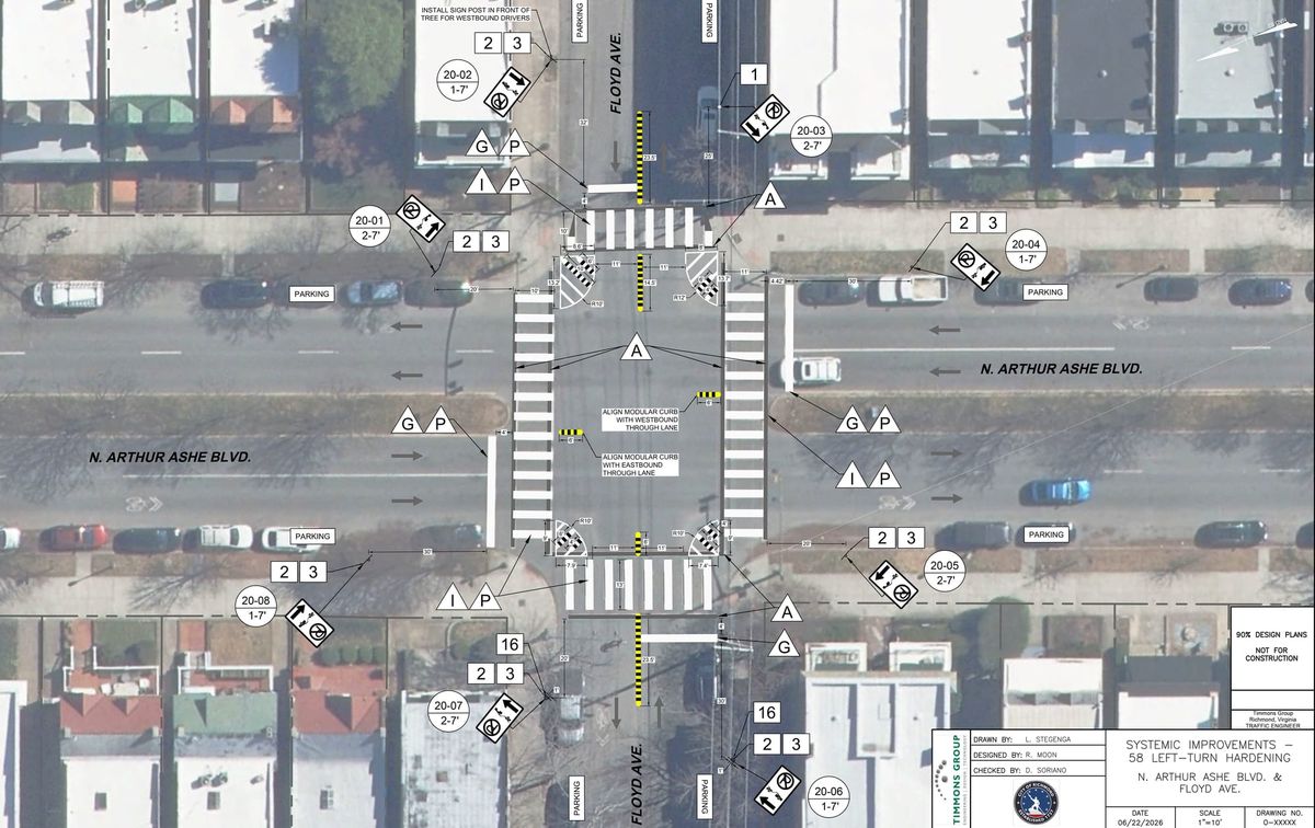
“The project includes high-visibility crosswalks, centerline hardening to reduce dangerous left turns, refreshed pavement markings, and other safety improvements designed to improve visibility and predictability for everyone using Richmond’s streets,” the city said in a news release Monday afternoon.
The effort focuses on corridors where the city sees the most traffic-related injuries.
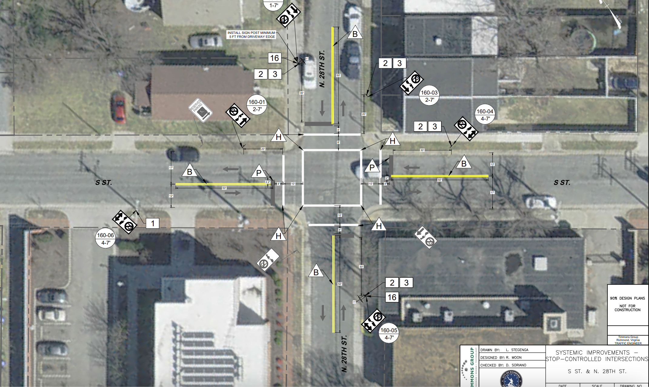
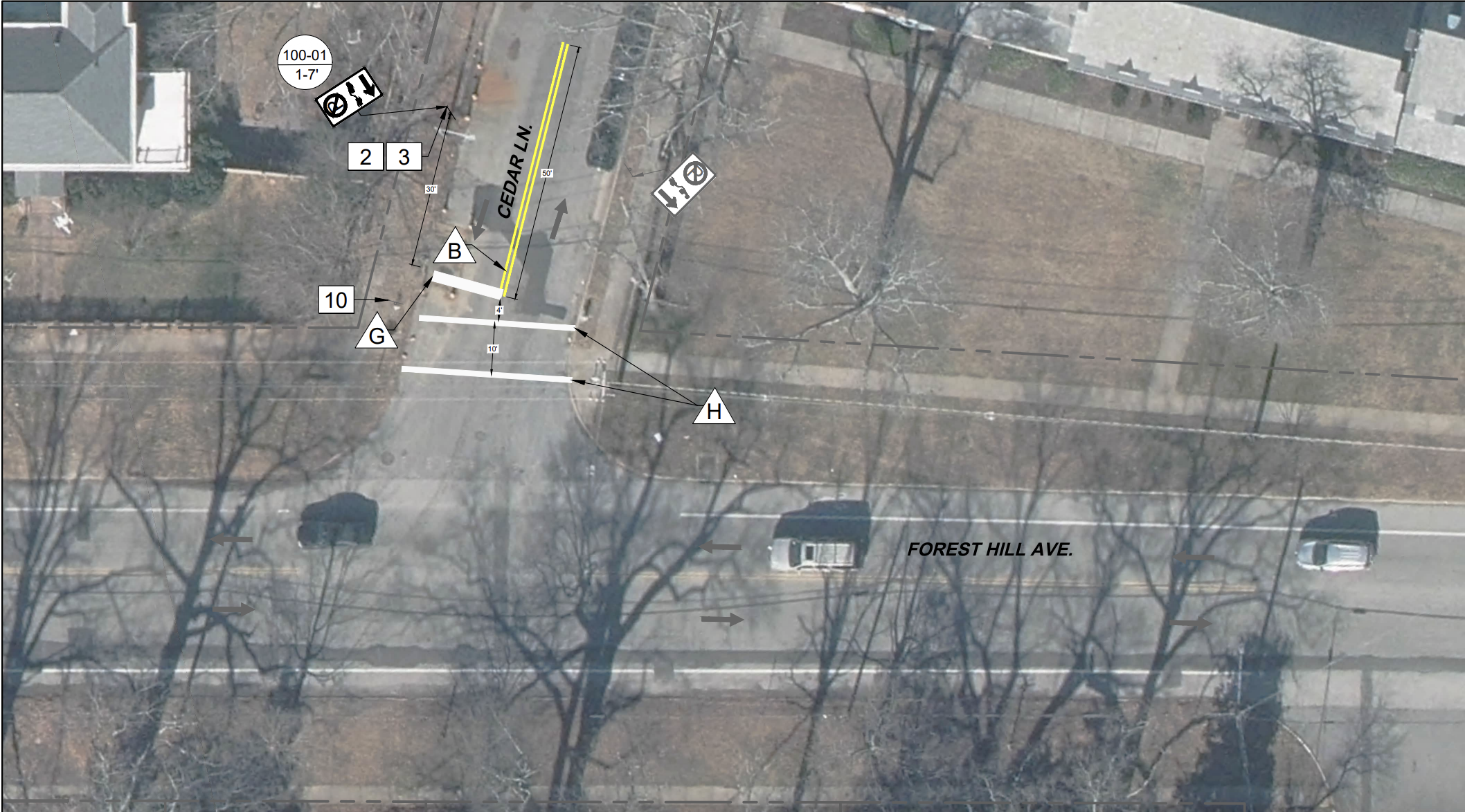
The map includes modular curbs and other forms of left-turn hardening, higher-visibility crosswalks and new markings along several major roads, including improvements to several key intersections on Arthur Ashe Boulevard.
According to the city, the upcoming projects show the city is “advancing its commitment to Vision Zero,” the ambitious goal of reducing traffic deaths to zero.
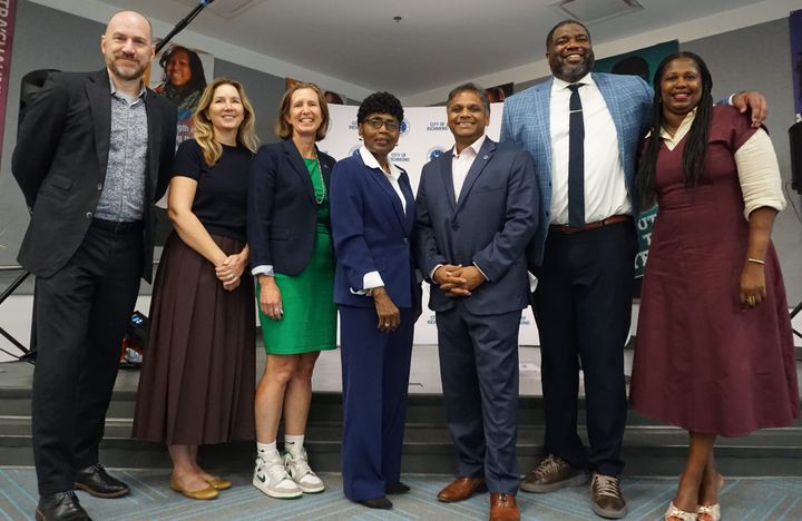
“Every intersection we improve is another opportunity to prevent a serious crash before it happens," said Andy Boenau, Director of the Richmond Department of Transportation. "These quick-build improvements are proven, cost-effective treatments that can make an immediate difference while supporting our long-term Vision Zero goal of eliminating traffic deaths and serious injuries."
The city’s online map currently lists 244 projects and will be updated as the work progresses.
Contact Reporter Graham Moomaw at gmoomaw@richmonder.org. This article has been updated since it was posted.