
Numerous thunderstorms ahead for RVA
Unlike a couple of weeks ago, the worst of the heat in Richmond lasts only one day this week.
It'll be more typical heat and humidity from Wednesday, through the weekend, and into early next week — afternoons will average from the upper 80s to the lower 90s, which is near normal for the time of year.
So far, Richmond is having its 7th hottest summer since daily weather records began in 1897. It may not seem hotter than normal, but of the six summers hotter than 2025, four have come since 2008, which may mean we are getting used to it being hotter than decades past.
Moreover, the higher humidity that comes with our warming climate has contributed to warmer low temperatures. Higher humidity makes it more difficult for the air to cool down at night, and nights this summer have been the third warmest on record.
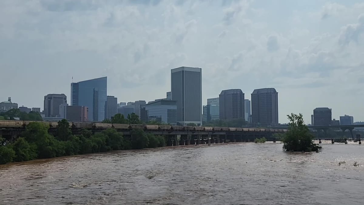
Fortunately, we've had enough showers and thunderstorms to stay away from drought this summer, as rainfall since June 1 has totaled 9 percent above normal.
More rain ahead
The next three afternoons will bring more of those showers and thunderstorms, and because of the high humidity, there will be some especially heavy rain within them. The coverage of these storms will be higher than the typical scattered variety, so most places across metro Richmond will get about 1-2 inches of rain over the next few days. But variation in the size and intensity of these storms means there will be a big discrepancy in specific rain totals — some locations will get less, some with more — perhaps enough for flash flooding.
Be mindful of the risk from flash flooding each afternoon and evening for the rest of this week. With that in mind, the local National Weather Service office in Wakefield issued a Flood Watch through Wednesday night for Richmond and the surrounding counties. As a general rule, when any type of Watch is issued, it is your first cue to pay closer attention to the weather than you may normally do.
In this case, the Flood Watch means conditions in the atmosphere are becoming more conducive to produce rain heavy enough to flood streams, creeks, and urban areas. This is different from a Flash Flood Warning, which means flooding is about to start or is already underway, and that is when actions should be taken immediately to get out of harm's way.
For Richmond, the most likely scenario over the next few afternoons is that a few small streams and creeks will flood or standing water develops in some low lying areas around the city that are historically prone to flooding — like I-95 near Chamberlayne Avenue and Midlothian Turnpike near German School Road.
How bad could it get?
Given the tragedy in Texas last week, it is a good reminder that flash floods develop much more quickly than larger James River floods. Flash floods happen over a much smaller area, and because they develop and recede over several hours rather than several days, their predictability is not as high. As a result, the amount of time between getting a warning and feeling its impact is going to be shorter — often less than a couple of hours.
More recently, a new classification of Flash Flood Warning, called a Flash Flood Emergency, has been developed by the National Weather Service, and that wording is reserved for truly catastrophic flooding, like what happened last week in Texas.
In Richmond, the best example of a Flash Flood Emergency is the flooding in Shockoe Bottom from Hurricane Gaston in 2004. The water from that flood came from a different direction than the James River, which is why the floodwall did nothing to protect the Bottom.
Remember, Shockoe Bottom sits on top of Richmond’s old Shockoe Creek — buried by the city about a century ago and incorporated into its flood control system, but its headwaters remain open just west of Mechanicsville Turnpike and east of Rady Street. In fact, when you follow the big curve on Interstate 64 between downtown and Mechanicsville Turnpike, the bridge along that curve takes you over the trickle of water that is the current Shockoe Creek.
But on August 30, 2004, more than 12 inches of rain fell near the headwaters of Shockoe Creek, far more than the flood control system could ever expect to handle, turning the defunct creek bed into torrent that rushed southward across Shockoe Bottom toward the James River — just as it would have done more than a century ago.
These types of truly catastrophic floods are exceedingly rare, and forecasting a singular area of 8-12 inches of rain in six hours, over an area less than a few square miles, is not something the science of meteorology is able to reliably do more than a few hours in advance.
So, while there is no reason to expect a repeat of Gaston this week in Richmond, it is a good time to think about how to plan for such a disaster if, and when, it happens again.
This article has been updated to correct the date of the Shockoe flood.
The Richmonder is powered by your donations. For just $9.99 a month, you can join the 1,000+ donors who are keeping quality local journalism alive in Richmond.