
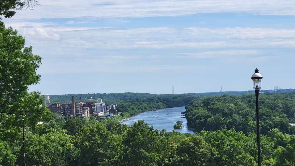
It's an early summer feel this week in RVA
The rest of this week in Richmond will feel more like early June.
Afternoons through Friday will average in the 80s and the nights will stay above 60, encouraging those reluctant to turn on their air conditioners to finally make that call.
The warmer nights will result from higher humidity over the next few days. Although it will not be stifling like we get in July and August, it will be a noticeable increase versus the last couple of days.
Seeds of Drought
Somewhat quietly, it has gotten dry in Richmond over the last couple of weeks. There were some healthy, but short-lived, thunderstorms scattered around central Virginia last Saturday, but most of the significant rain missed the city limits just to the north or the south — meaning many places have had less than a quarter-inch of rain over the last two weeks.
With days getting longer and the sun higher in the sky, evaporation from soils is much greater than just a month ago, so the ground dries out more quickly after a soaking rain. May brings the start of solar summer, the three month period of the year when the sun is highest in the sky and the days are the longest.
This differs from astronomical summer, which starts on the day of the solstice — when the sun is highest in the sky at noon. This year, that happens on June 20.
While it is too early to worry about drought right now in Richmond, much of the state north and west of Richmond has turned abnormally dry, with Northern Virginia and the Shenandoah Valley already in a moderate drought.

Our two soaking rains during the first half of April have kept us out of those categories, at least for now. But streamflow is below normal for most of the state between the Blue Ridge and the Chesapeake Bay, with some streams in Southside and Northern Virginia in their lowest 10 percent of all observed stream flows.
There is room for cautious optimism to get some rain, although the timing is not ideal.
The surge in warmth and humidity this week will help spawn scattered showers and thunderstorms, although they look few and far between through Friday.
A stronger system pushes through on Saturday, bringing a better chance for a few hours of rain, then Sunday and next week are a bit of a crapshoot.
There are signs that a broad area of low pressure forms in the middle levels of the atmosphere and spins over the Southeast for a few days — starting on Sunday. Depending on its precise location, we could get several rounds of rain Sunday and deep into next week.
However, it is too early to count on that right now. Climatologically, it seems unlikely. And if it does not develop, we may find ourselves in a particularly dry weather pattern for the first couple of weeks of May, and that would send us into a legitimate drought.
We should know better in the next couple of days.
Starving the Climate Assessment
Late Monday, the scientists and staff working on the sixth federal National Climate Assessment (NCA) were informed their services were no longer required.
Meade Krosby, a Senior Scientist at the University of Washington posted on Bluesky on Monday evening:

The NCA is a periodic review of the physical science of climate change and its impacts on the people and security of the United States. Congress mandated these reports via the Global Change Research Act, signed into law by President George H.W. Bush in November 1990.
The most recent NCA, version 5, was released in 2023, and the next update is scheduled for 2028. But its future is now in question.
Scientists across different labs and institutions, both public and private, volunteer their time in putting together the comprehensive report. The authors are vetted in a rigorous selection process.
The NCA covers the impacts of the warming climate on agriculture, transportation, health, ecosystems, and several additional topics at regional and local levels nationwide. By design, it is policy neutral, but it does highlight where solutions can be implemented to reduce impacts.
For example, around Hampton Roads, the average water level has risen 1.6 feet in the last 100 years. The rise is accelerating, and now there are typically 10-15 high tide floods each year.
Waterside flooding at high tide in the next 25 years is expected to be 8-10 times more frequent than today, so part of Chapter 9 of NCA5 highlighted a method to use natural defenses to successfully adapt to the sea level rise affecting a Norfolk community where Ohio Creek drains into the Elizabeth River.

But the research on the warming climate and learning how we can adapt to it are now both at serious risk. Given the sudden and deliberate starving of funds previously earned by federal scientific institutions like NOAA, the National Institutes of Health, and the National Science Foundation, it seems unlikely NCA6 will continue in the manner authorized by Congress.