
How Virginia’s new redistricting push could impact the Richmond area
Virginia Democrats still have several hurdles to clear before they can proceed with an extraordinary mid-decade redraw of the state’s congressional maps. But if all goes according to their plan, the political map in the Richmond area could look much different for the 2026 congressional midterms.
As a growing and increasingly blue region near the geographic center of the state, Richmond would probably be a key part of any effort to create more Democratic-leaning seats in Virginia.
State lawmakers have not yet released a map they hope to enact and how it might affect Richmond, but the city and the region could potentially be split up into more districts.
Democrats in the General Assembly have characterized the special session that began this week as an emergency counteroffensive in a national redistricting war that President Donald Trump started earlier this year when he told Texas officials to draw more Republican districts in their state. With a norm-breaking president trying to tip the national congressional math in his favor, Democrats argue, Virginia shouldn’t passively stand by without a response.
Republicans have denounced the maneuver as a hypocritical power grab that would partially restore partisan gerrymandering just five years after Virginia voters approved a bipartisan redistricting commission meant to end the practice. Invoking advice parents often give to children about how to behave, Republicans say Virginia shouldn’t re-embrace partisan gerrymandering just because other states are doing it too.
The state’s current congressional delegation has six Democrats and five Republicans. A gerrymander drawn by Democrats would aim to add more blue-leaning districts to the mix, but the specifics would depend on how far the Democratic-led General Assembly is willing to go.
The legislature is just beginning a multi-step process to attempt to amend the state constitution to give the General Assembly the option of redrawing Virginia’s congressional maps next year. The constitutional amendment has to pass before the Nov. 4 election, then must pass again in the 2026 General Assembly session. After that, voters would have to give it a final thumbs-up in a special ballot referendum held sometime next spring.
Democrats have said they’re only preserving the option to redraw maps if it’s necessary to counter Republican actions in other states. It’s not clear when voters might see a specific map proposal that could show what would happen to Richmond if the plan succeeds.
During Virginia’s 2021 redistricting process overseen by the Supreme Court of Virginia, the court-appointed experts who drew the current congressional map noted that “the high concentration of Democrats in cities such as Richmond does lead to some ‘wasting’ of Democratic votes.” If the map were redrawn by Democrats, they would be looking to areas with an excess of Democratic votes that could be redistributed to boost the party’s chances of controlling more seats in Congress.
The Republican-leaning 1st District, which is currently represented by GOP Rep. Rob Wittman and covers a good chunk of the Richmond suburbs, would likely be a prime target for Democrats in any 2026 redraw.
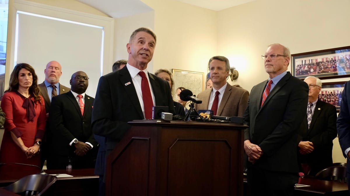
“They want to silence the voices of Republicans,” Wittman said Monday as he and the other four Republicans in Virginia’s congressional delegation appeared at the state Capitol to denounce the redistricting push. “It’s pretty clear and straightforward what the intention is here.”
The 1st District includes the Northern Neck, Middle Peninsula and Historic Triangle regions, but more than half its voting population is in the suburban Richmond-area counties of Chesterfield, Henrico and Hanover.
Richmond itself, which is fully contained in a single congressional district represented by Democratic Rep. Jennifer McClellan, could potentially be divided up into multiple districts to maximize the capital city’s strongly Democratic population.
One hypothetical map reposted on social media by influential Virginia Sen. Louise Lucas, D-Portsmouth, shows five Democratic districts converging in the Richmond region.
It’s unlikely that Virginia Democrats would go this far but it’s definitely possible to draw a pretty safe 10–1 map as well. https://t.co/iRxiRzeFpv pic.twitter.com/cu7c7HXZie
— Zachary Donnini (@ZacharyDonnini) October 24, 2025
“When it comes to trying to draw an 8-3 map or a 9-2 map, there’s really no mathematical way — unless you were to split Northern Virginia in a lot of ways — for Richmond city to not be split,” said Chaz Nuttycombe, a Virginia-based election analyst and founder of the nonprofit State Navigate.
In that scenario, multiple congressional representatives could have a slice of Richmond. But the city would no longer be kept together as a cohesive community with one person speaking for all of Richmond in the U.S. House of Representatives.
McClellan has expressed support for Virginia Democrats opening the door to redistricting, without directly weighing in on how her own district might change as a result.
“Given that Trump continues to ask red states to change the map mid-term, I think all options need to be on the table to respond to this unprecedented move,” McClellan said in a recent MSNBC interview with the Rev. Al Sharpton.
A Democratic gerrymander could link more parts of Richmond with redder, more rural areas that may have little cultural or economic connection to the capital region.
As part of Virginia’s redistricting reform efforts designed to bring about fairer, more coherent political maps, the General Assembly passed criteria in 2020 that says “communities of interest” should be preserved when maps are redrawn. Virginia law defines a community of interest as “a neighborhood or any geographically defined group of people living in an area who share similar social, cultural, and economic interests.”
To capture the congressional seat currently represented by GOP Rep. John McGuire, Democrats could potentially pull the 5th District further into the Richmond suburbs. Though the district already stretches to Charlottesville, Lynchburg and Danville, it also approaches the western outskirts of Richmond by covering Goochland, Powhatan and Louisa counties and part of Hanover.
In 2021, the original 5th District map included part of Chesterfield, but the map-drawing experts eventually changed the proposal after many Chesterfield residents said it made more sense for them to be kept in a district with Henrico. That allowed the Richmond region to be kept in two congressional districts instead of three, the experts wrote in their report.
As the special session began at the Capitol Monday, local lawmakers indicated they didn’t have much to say yet.
“I look forward to continuing this conversation after special session is over,” said Del. Rae Cousins,” D-Richmond.
Del. Mike Jones, D-Richmond, said he was “following the lead of our leadership that’s trusted.” He said it would be “premature” for him to speculate about the possibility of Richmond getting split into multiple congressional districts.
“These are different times,” Jones said. “It just is.”
Contact Reporter Graham Moomaw at gmoomaw@richmonder.org. Moomaw serves on a journalism advisory committee for State Navigate.
The Richmonder is powered by your donations. For just $9.99 a month, you can join the 1,200+ donors who are keeping quality local news alive in Richmond.